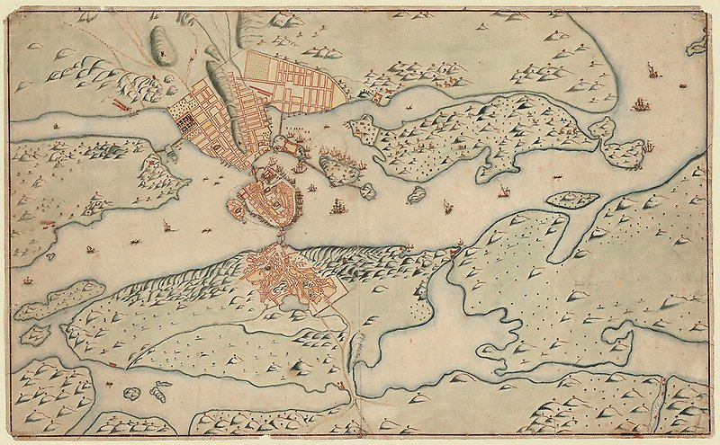
Find and order maps
Most KB maps are not searchable in databases. Therefore you may need help to find them. Contact us via the form below to explore the collections with the help of our staff.
Here's how it works
Look first in our search services:
- Libris
 External link, opens in new window. and Regina. External link, opens in new window. there are a lot of maps:
- Some are available as digital copies that you can download yourself directly in the services.
- Some maps you need to order via the form below. Please tell us why you want to access the material. We can often help you find more relevant information than what is visible in the services.
- On data.kb. External link, opens in new window. se there are digitizations of several older maps.
- If you are looking for cadastral maps of individual villages and farms, we refer you in the first instance to Lantmäteriets "Historical maps" External link, opens in new window. and the National Archives' database "Sweden's oldest large-scale maps". External link, opens in new window.
Can't find what you're looking for?
If you can't find the map you are looking for, we are happy to help. Use the form below and remember to be as specific as possible in your request.
Once you have placed an order or made a request
You will be notified by email when we have processed your request or order. We will primarily assist you remotely, with digital copies or low-resolution reference images.
If you need access to physical maps, you can consult them in the Special Reading Room by arrangement with the staff.
Contact form
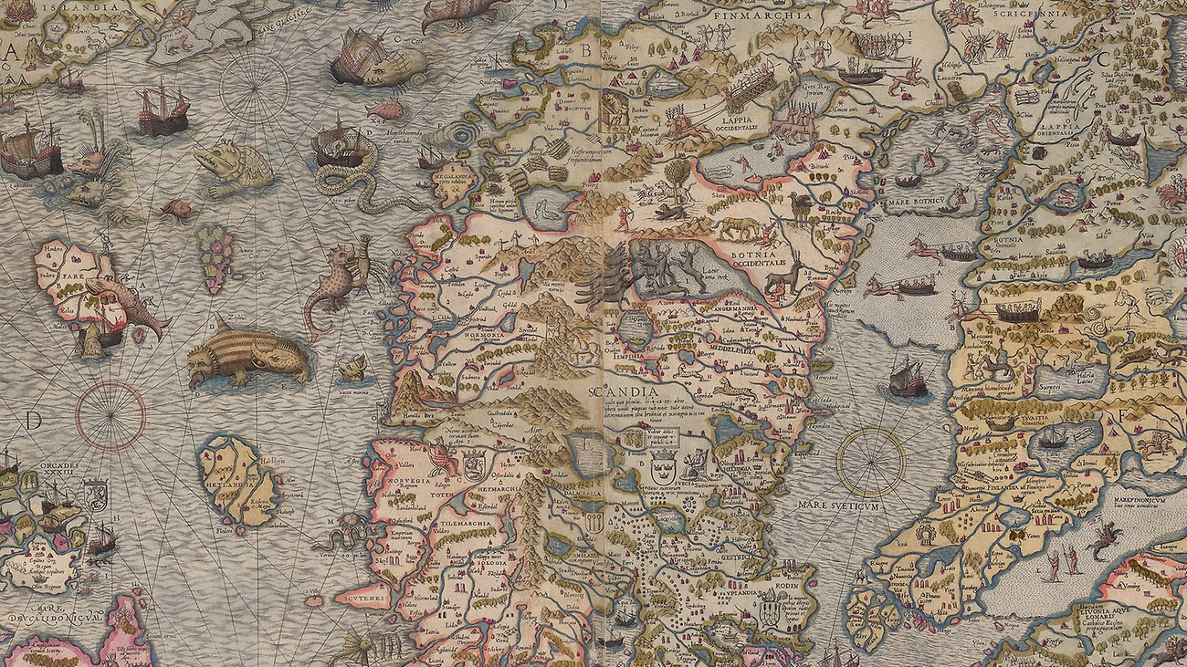
Free maps
Libris contains a variety of digitized and copyright-free maps that you can view on your own.
Explore free maps (link to external site, opens in new window)